
AERIAL IMAGES
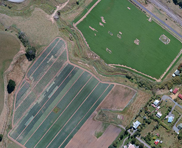
Optic Wing Limited offers high-quality aerial photography and video footage, capturing images from the air to survey, monitor, and provide new perspectives of areas for you and your company.
The imagery and video captured by Optic Wing Limited serve a variety of purposes. They are excellent for marketing and equally effective in conveying information about regions that might otherwise remain unnoticed. Optic Wing Limited provides the capability to effortlessly view every aspect of any given area.

POINT CLOUD GENERATION
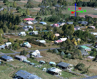
Optic Wing Limited is equipped to generate point clouds for you. This point cloud constitutes the collection of points that have been measured by the high specification photogrammetric software.
These scans can be utilized to accurately replicate terrain in three-dimensional form, which saves both time and resources. A point cloud of an area can be matched with a CAD model—or another point cloud—to identify discrepancies. The variances can be illustrated as color maps, providing a visual representation of the deviation between the actual area and the CAD model..

MAPPING OPTIONS
Optic Wing Limited offers a diverse array of mapping outputs. With the advancement of technology, the variety of innovative applications continues to expand.
Optic Wing Limited provides essential services for visual, multispectral, thermal, lidar, and hyperspectral outputs, delivering the information you need from an aerial perspective. These diverse mapping techniques are utilized globally across a broad spectrum of industries on a daily basis..
